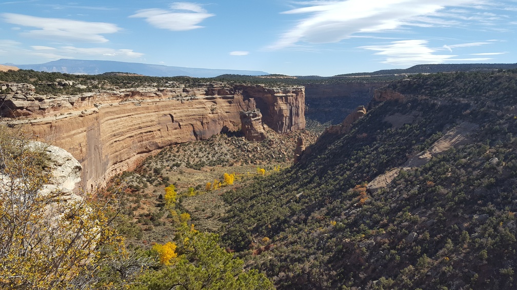
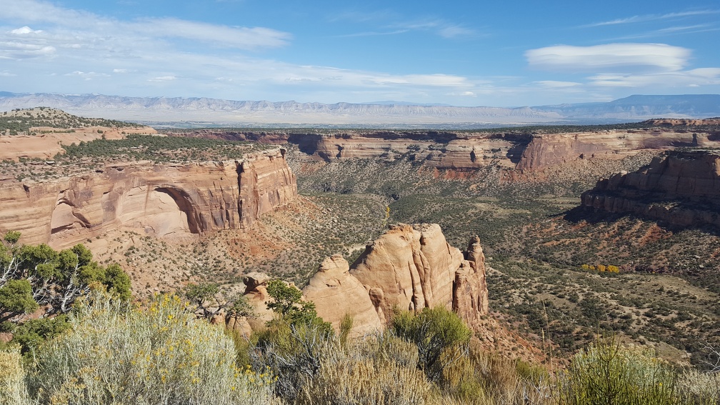
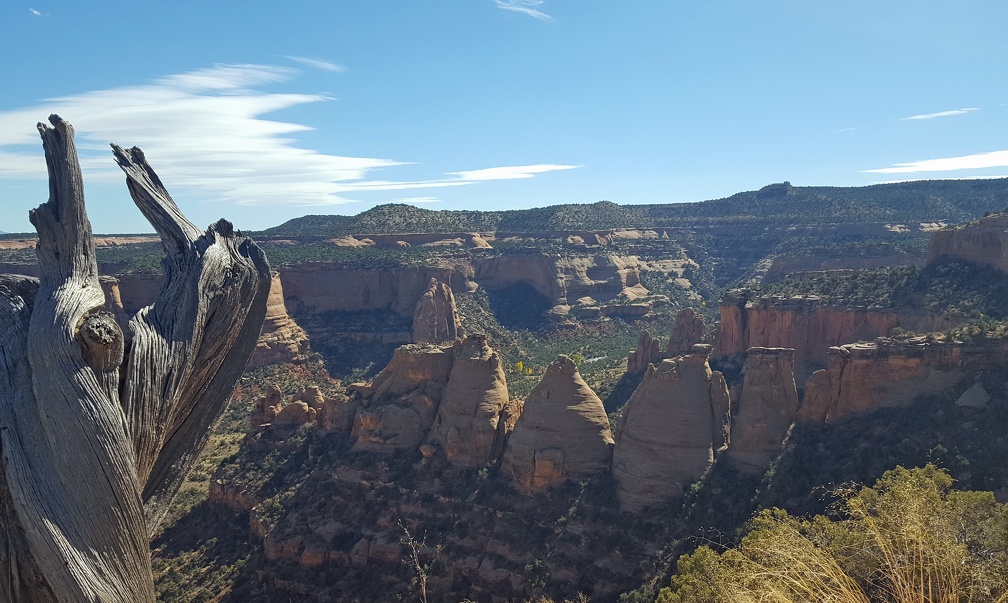
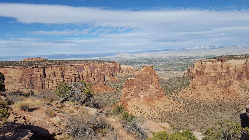
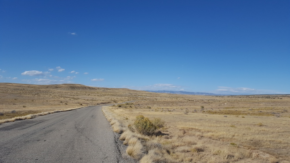
Up on the hills next to Grand Junction was my second opportunity to use my National Parks Pass: the beautiful Colorado National Monument!
I spent Sunday morning exploring Grand Junction before loading up my scooter and heading into the park. While the park covers a lot of land, it’s mostly one long road through it. Perfect for me, I didn’t plan on doing a lot of hiking since my saddlebags don’t lock and neither does my duffel bag. So I don’t like leaving the bike for hours.
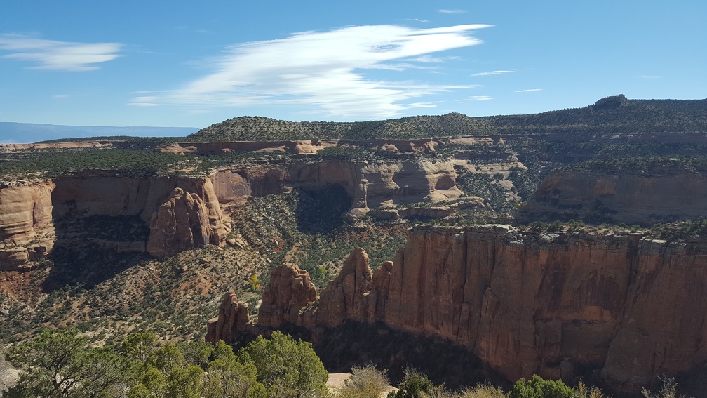
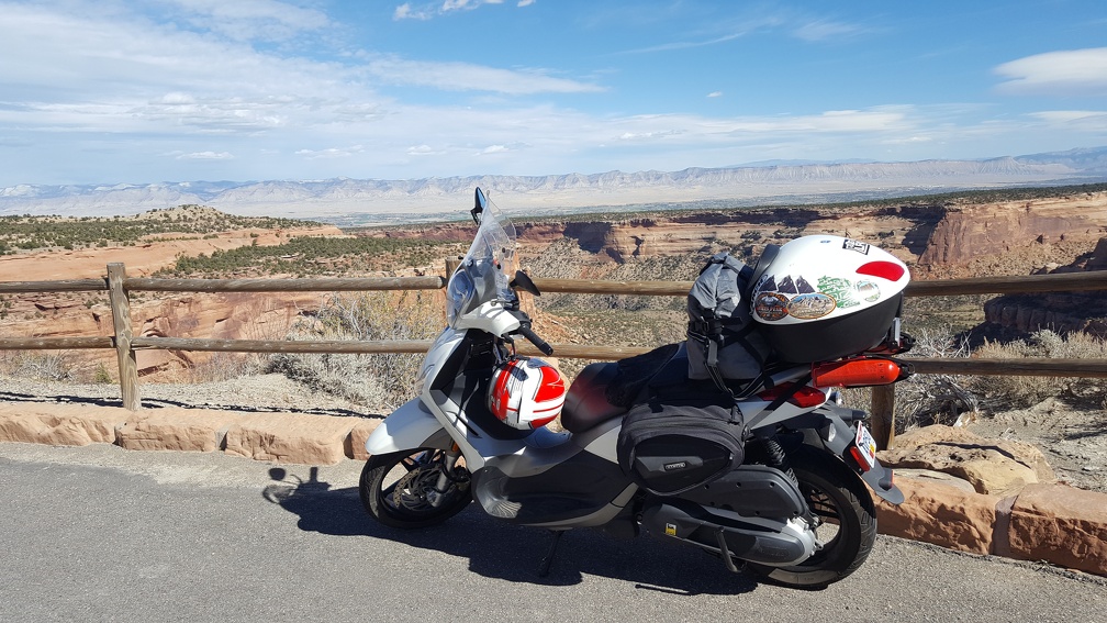
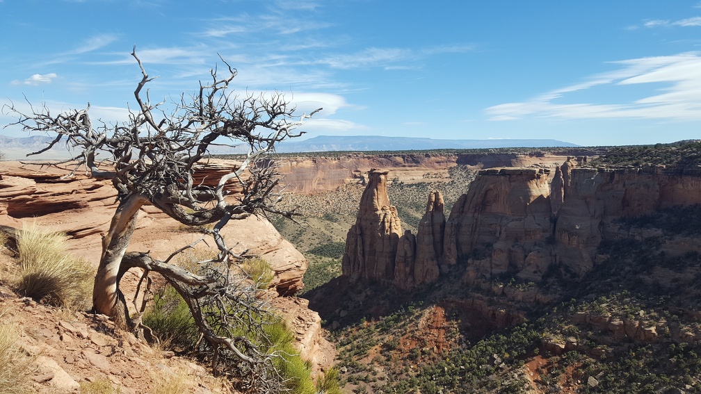
With one last panoramic shot I rode out of the park. It was early afternoon; I’d poked around earlier and Google Maps apparently had a devious route all the way from the Colorado National Monument to Moab avoiding I-70. You remember how only the day before Google Maps had tried to take me on a non-existent road? Yeah, I’m a slow learner.
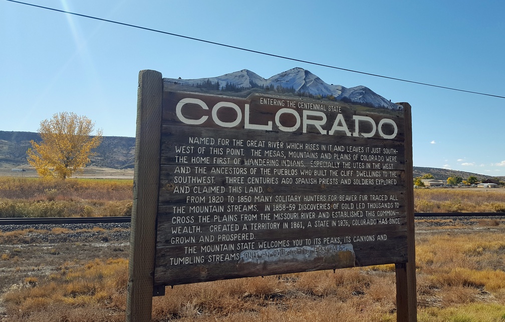
It took me on interstate 60 & 5, which is a lovely road through Colorado. Then it hits Utah and Utah apparently just gave up on it. There are big signs stating, “through traffic take I-70.” Clearly they only meant fun haters.
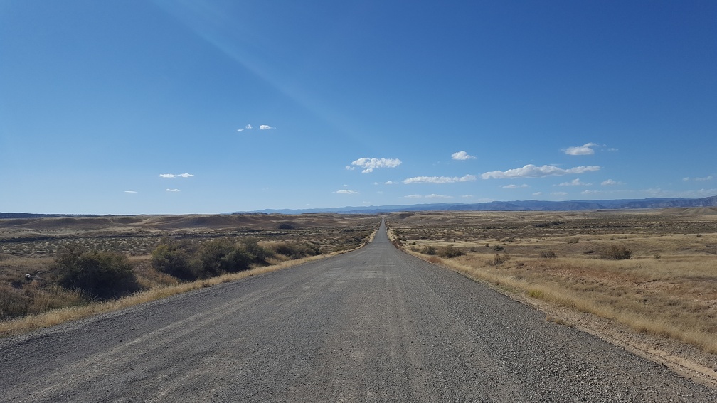
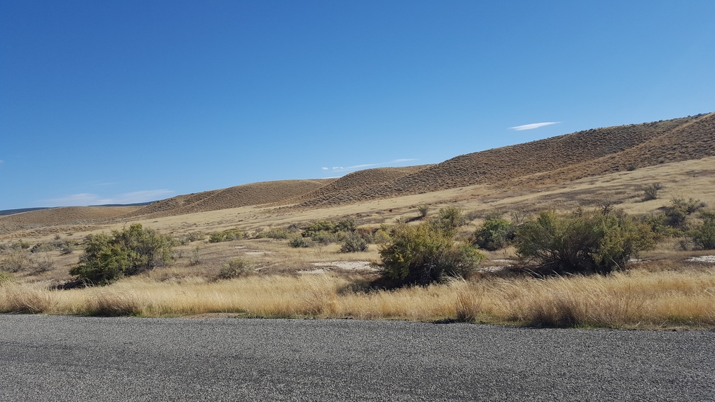
At some point I crossed under I-70 again and ended up on a Bureau of Land Management (BLM) road heading south. It was beautiful and very clear about not having any services. No worries, it was going to be closer than I liked but I wasn’t going that fast so gas mileage should be fine.
A couple dozen miles south of I-70 I heard, “turn right on Kokopelli Trail”. I was just starting to curse about the word “trail” when I see the entrance, a total wash of soft sand and with a man repairing a puncture in his bicycle tire at the trail head. His bicycle with special, extra-huge and wide tires.
Crap.
I turned to look down what appeared to be a mountain bike trail and there was clearly no way it was going to work. Even if I didn’t have 70lbs of luggage on top of the scooter it couldn’t have handled that road. Just turning around at the entrance I started to get stuck and sink into the sand, thankfully there was enough gravel to lift me out.
So I trekked back to I-70, having spent way more fuel than expected on a beautiful but laughable detour. It’d been a little gusty all day, but the wind hadn’t bothered me much until I got on I-70 and attempted to play in 80mph speed limits. This wasn’t like the ride across South Dakota, where the wind was worse and tore at me from all sides. This was just constant backwards pressure and I ended up pinning the throttle open and still sometimes struggling to get to 65mph. I couldn’t tell if it was the saddle bags causing massive new drag, but I hadn’t noticed a problem before. A week later I’d take the same part of I-70 again with no problems, so I really think it was the wind. As I struggled forward, my gas gauge was dropping like crazy as exit after exit after exit passed with “No Services” signs. I eventually limped into Thompson with my fuel light glaring up at me. I’d missed taking 128 a few exits back, but it was signed no services to Moab (over 40 miles) and I clearly couldn’t make that. Kevin had recommended that route down and I thought about turning around to take it, but had was worried about my range on I-70 so opted for the much closer route an exit away, and headed south in along 191. It was a familiar entrance into the Arches area, a place I’ve been a few times before and was glad to be returning to. All I had to do was check in to my Airbnb address.
Airbnb integrates fairly well with Google and Google Maps, so I get automated reminders on check-in day. These have a “map” feature that takes you right to the address specified in the listing. Which, in this case, was just a road. My host sent me his address as a message but I didn’t connect that to the fact that my mapping software was just picking a random spot on the road. A spot out of town, following the Colorado river south farther and farther until finally it noted that I had arrived at my location. Which was apparently a small camp site by the river. I spent some time staring at the site, then driving up and down looking for a house he had described and only seeing a few trailers. With no cell reception I couldn’t message him asking what the heck, so I turned around and headed back into town. Moab has decent cell reception so I eventually figured out what was going on and made my way to the correct address.
Sun-burnt, stressed and exhausted; I was back in Moab.

