After I left Denver I headed West, towards Moab. I left Friday night (October 14th), and had a beautiful drive through the mountains, ending up in Vail.
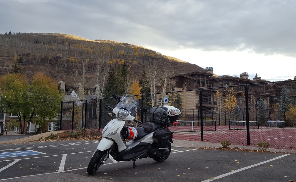
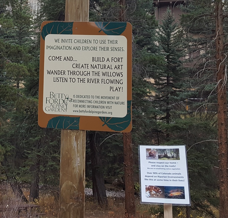
I was unimpressed with Vail. It’s all resorts, and I ended up staying in one for the night. It had a kitchen, a porch with a view of the hillside about 15′ away and a murphy bed (ok, I liked that although it wasn’t terribly comfortable). I drove around a bit the next morning, and did walk through the Alpine Garden, but even that wasn’t too impressive. It just seemed like any town that had been there was now walled off by giant resorts everywhere. I was invited to a party at someone’s hotel room by a drunk group I hung out with at the restaurant, but I was on-call and declined (good thing since I got paged).
When I woke up Saturday morning it was in the mid-thirties, a layer of frost lay on my scooter and a small puddle of oil was underneath it, toward the back. Given that I’d just had it in the shop for the second time I was angry, more so when it refused to start. After a few tries I started unloading the whole scooter in order to get access to the guts (so I could stare at them in puzzlement more directly). Eventually the scooter did catch fire and slowly chugged to life. In retrospect I imagine it was the high altitude and cold weather more than anything else, but it was a scary few minutes wondering how I was going to get this all sorted.
After the scooter started up, and I explored Vail enough to be bored, I headed off, punching west towards Hanging Lake. I’d read it fills up quickly so figured I might as well get started despite the cold temperatures clawing at me as I rode off. I was missing my Roadcrafter suit something fierce.
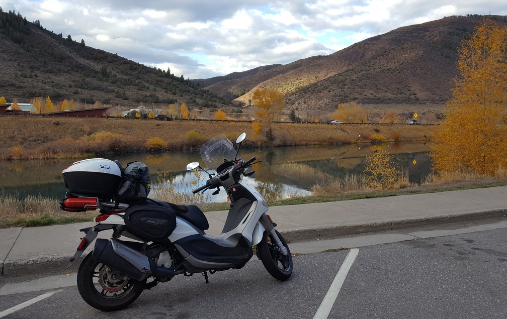
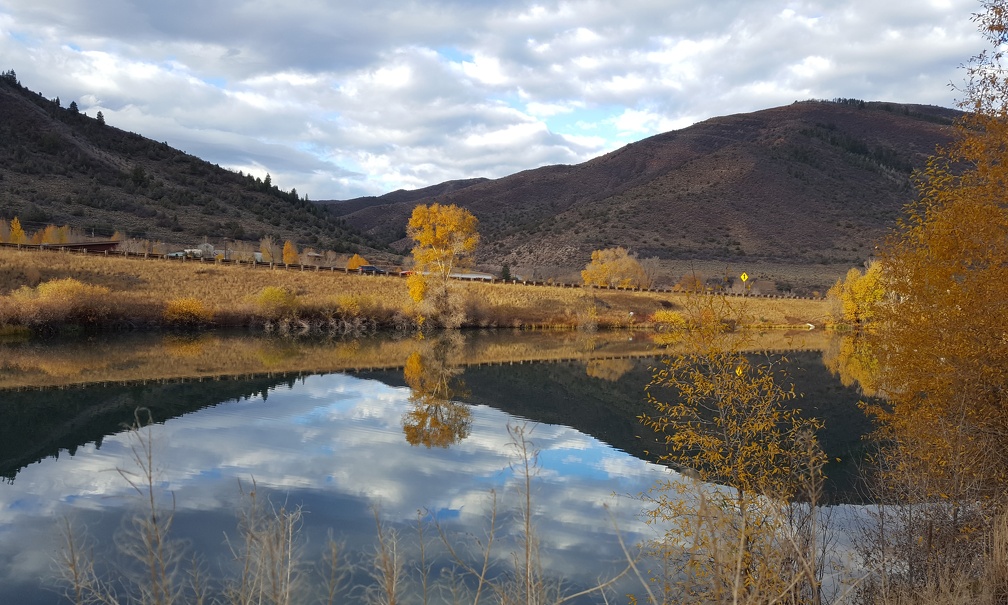
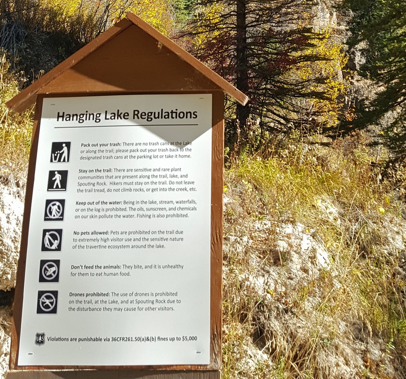
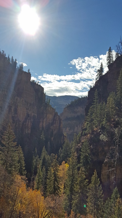
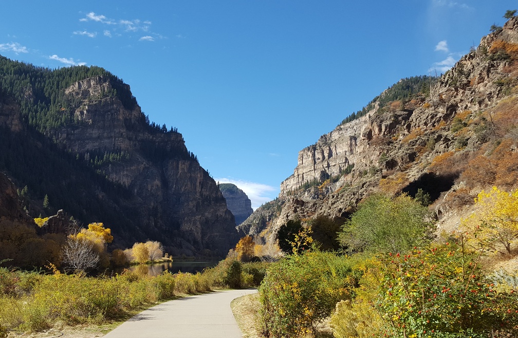
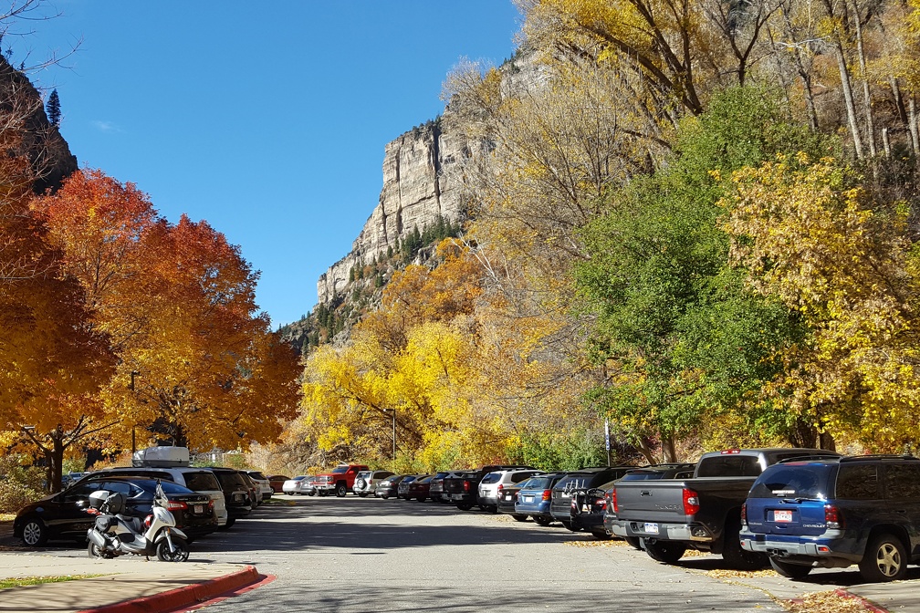
Kevin had told me about Glenwood Canyon and it’s really a majestic part of the drive west. I-70 folds over itself to fit through the narrow canyon, and the river keeps pace alongside you as you ride through. Hanging Lake was in the middle, and only accessible for eastbound traffic so I had the tough job of getting off a few miles later and driving back up the canyon again before ending up in a parking lot already 3/4’s full. It was sometime around 9am, by the time I’d get done with the hike a couple of hours later there was a line of cars waiting to get in and park.
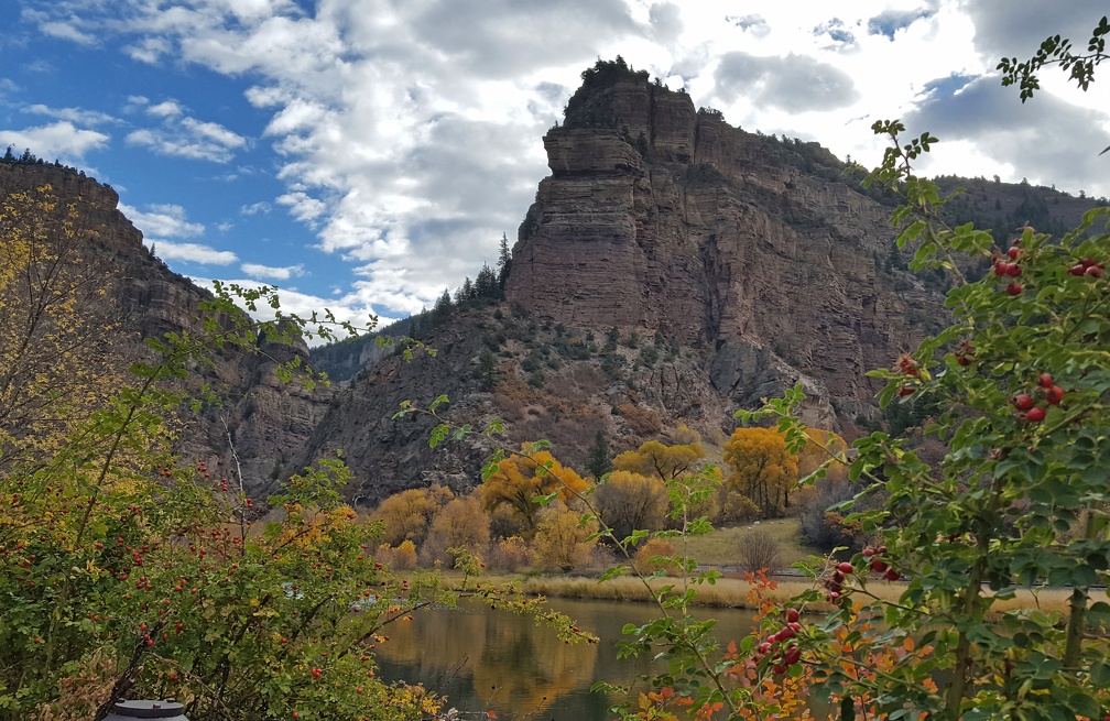
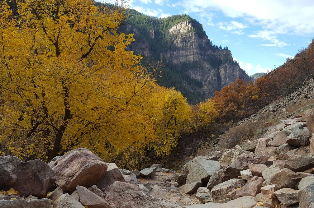
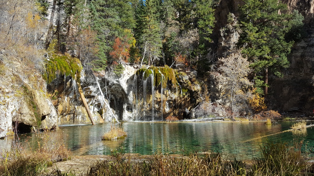
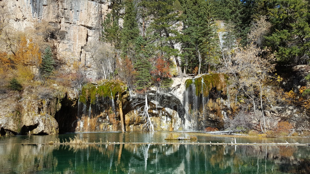
The hike itself was a scramble; less than two miles up but a fairly steep climb with rock climbing at the end. Apparently I visited this place with my family when I was a kid, and while I didn’t remember that I kept thinking I’d been to the rest area where I turned around before (true!). Anyhow, the hike itself is a lot of fun, but leave your armored motrocycle jacket on the bike. Yes, you’re still cold from a few hours in 30-40 degree weather where you barrelled down the highway, but trust me. I was a sweaty mess by the time I got to the top and lugging that plus the camelbak was a pain.
After Hanging Lake it was just a couple of miles more to Glenwood Springs. This pretty little town is nestled between the mountains. Robin recommended the springs there, but I hate fun so instead hiked up to an old cemetery.
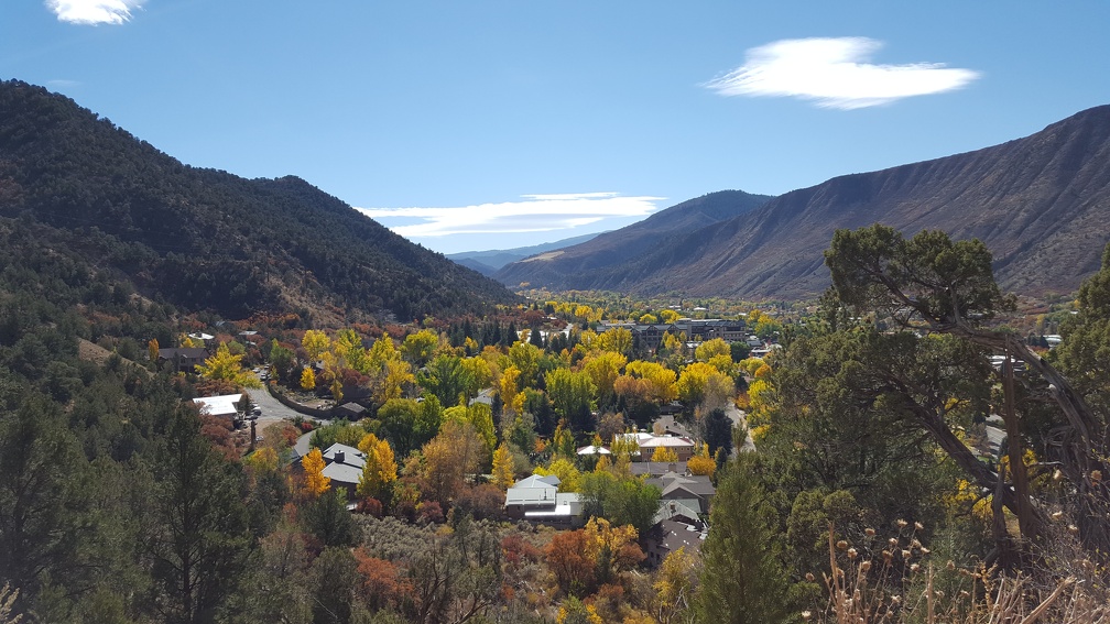
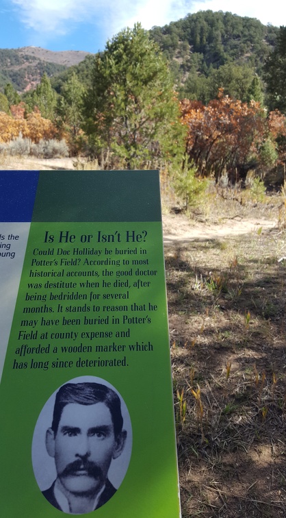
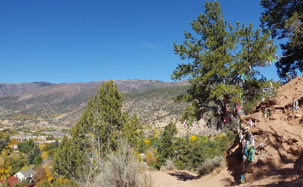
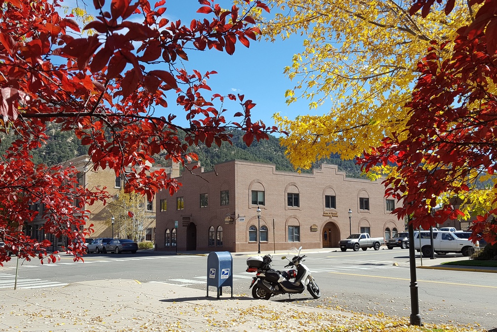
I spent a while in Glenwood Springs trying to convince Google Maps that the bridge it was taking me over really was totally closed for construction before giving up and getting on the highway to a different exit. Not a huge deal, but the first of a few issues we would have with the “avoid highways” function. Google Maps is always a bit questionable in rural areas, and there just aren’t that many non-highway options when you get outside of town. Unfortunately it tends to take “avoid highways” as “avoid them AT ALL COSTS” which isn’t so helpful. OsmAnd tends to be a lot more balanced, but it’s a pain to get setup so I got lazy and went with Google Maps.
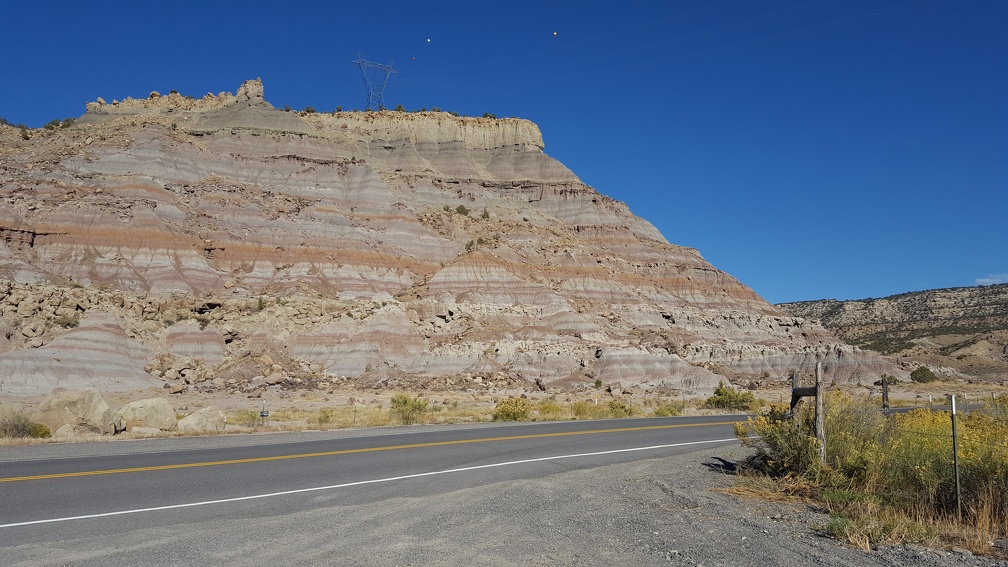
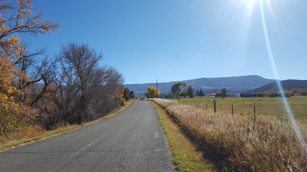
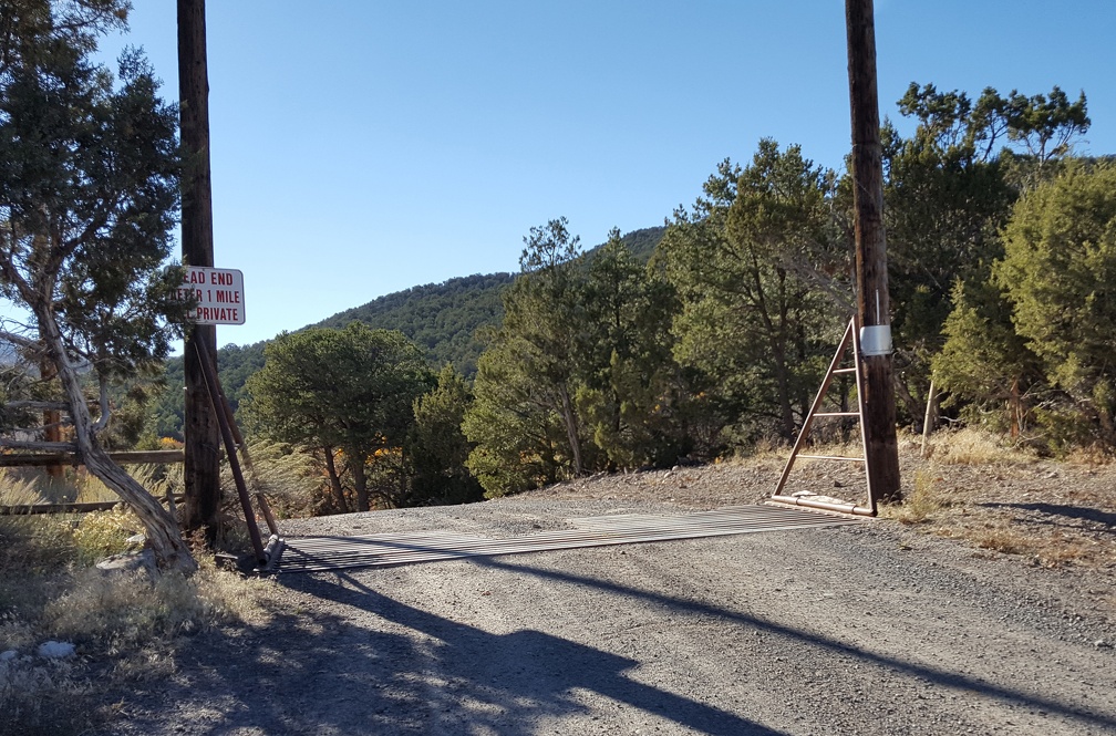
I drove around in circles a bit before this at the “no outlet” sign trying to find the road Google was telling me to take. Eventually I confirmed there was no way through, and headed back up to the highway. It was a lovely detour, but it added a couple of hours to my drive and I was annoyed to be wandering my way back to I-70. I got near Grand Junction, my destination for the night, and got off the highway, trusting Google to guide me through the suburbs which it did just fine.
I was tired and a bit sunburned; I’m ok at applying sunscreen but re-applying it is not my forte. I checked into the hotel, cleaned up a bit and headed out to explore Grand Junction.
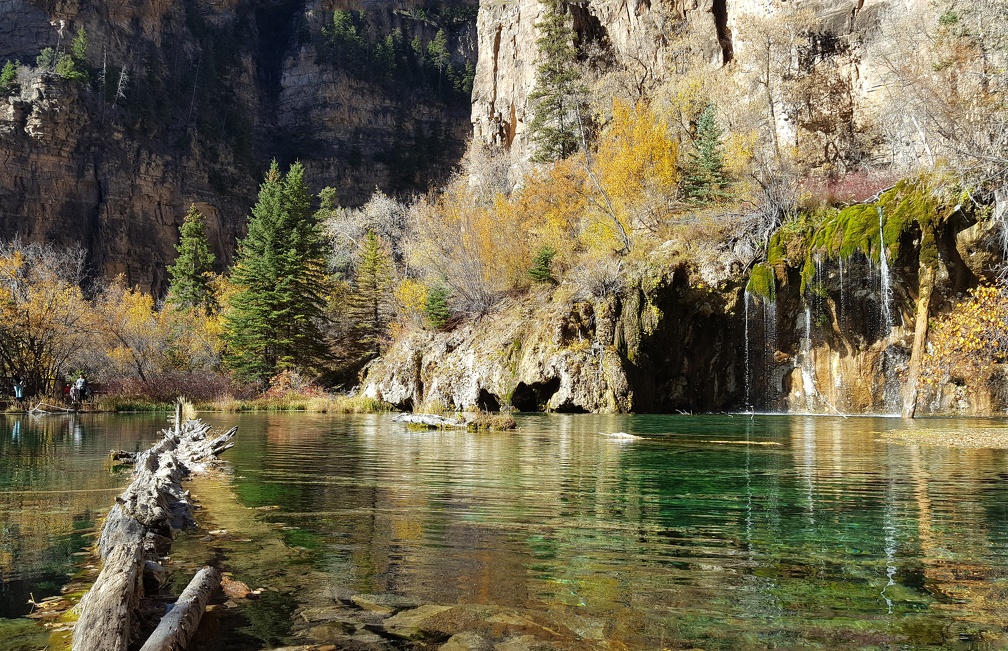
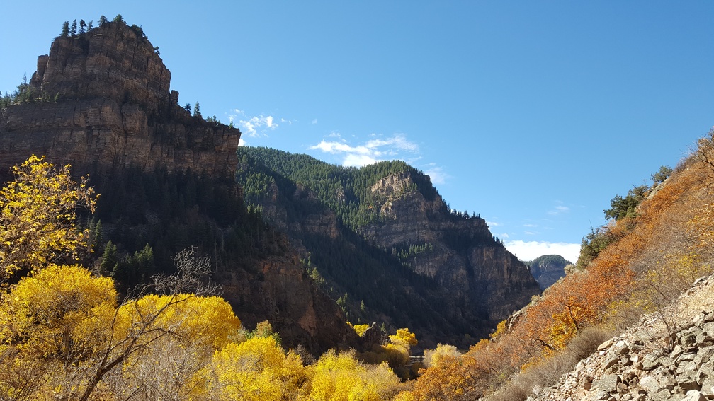
Your visit to Hanging Lake looks so perfect! I have been wanting to do that hike for years and have never actually made it. It’s like that new year’s resolution one makes every year and never follows through. I really should not take it for granted that I live here and just neglect all these cool sights.
It’s a touristy spot but for good reason. The whole canyon was beautiful, and it looked like there might be a longer bicycle trail through it too? Totally worth a trip sometime, although the parking lot really does fill up fast.